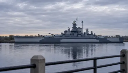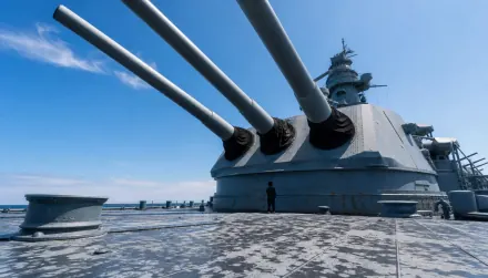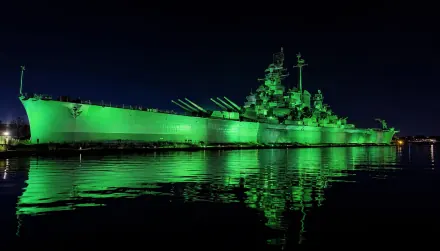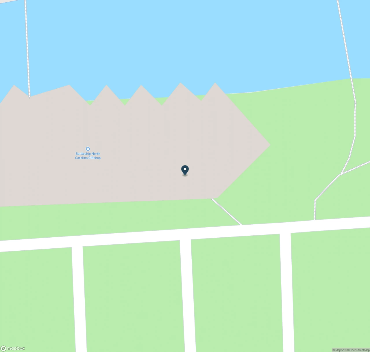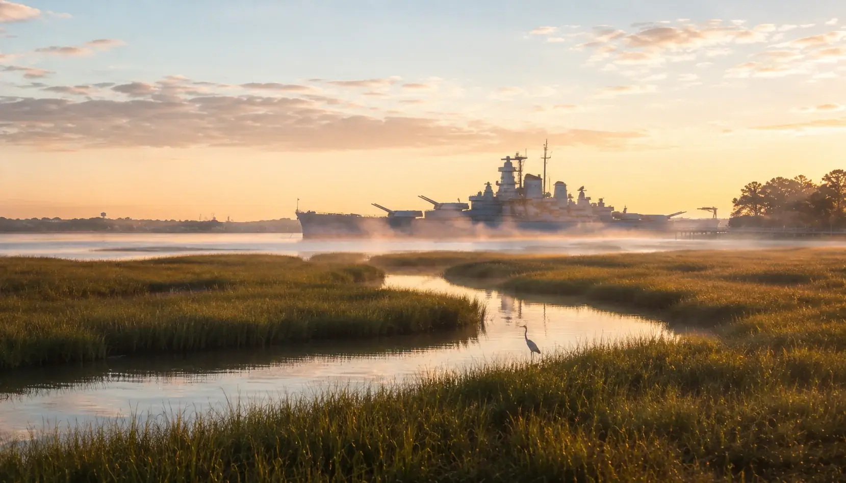
The Battleship NORTH CAROLINA’s Living with Water project makes space for the Cape Fear River rather than treating every flooded surface as a repaving problem. Part of the site’s low parking area became wetland, while remaining parking and drainage were redesigned. Understanding those separate functions gives a visitor something useful to look for beyond the ship itself.
The flooding statistic has a defined source
The Battleship’s project account says a study found a 7,021% increase in tidal flooding since the ship arrived in Wilmington in 1961, and dates the project launch to 2018. The PBS NC segment published April 17, 2025 summarizes that increase as roughly 7,000%.
Those are the sources’ historical comparisons, not the percentage of the site currently underwater or a prediction for your visit. This refresh did not independently reproduce the underlying study’s calculation. The former “770% in the most recent full decade” claim lacked a defined pair of years in the cited material and is removed rather than presented as a second precise comparison.
Three features do different jobs
The operator’s project description identifies about two acres of flood-prone pavement restored to wetland and tidal creek, drainage improvements including a bioswale, and about 800 linear feet of living shoreline. Its page still uses future-tense project language, while the 2025 PBS report describes the adaptation. Neither is a current inspection of every finished feature.
| Feature | What to notice from a permitted visitor route | Why the distinction matters |
|---|---|---|
| Wetland and tidal creek | Low planted land connected with tidal water | Water entering wetland is not automatically a failure |
| Bioswale/drainage | A vegetated drainage feature by parking | Runoff management is different from eliminating all river flooding |
| Living shoreline | A softer transition between bank and water | Habitat and erosion goals differ from ordinary asphalt parking |
This is an interpretive comparison based on the project design, not a measured performance assessment. Do not enter planted areas or approach wildlife to inspect it. Ask staff which paths and interpretation signs are currently open.
Raised parking is not a future flood guarantee
The intention is to put remaining parking above frequent high-tide flooding and provide drainage into the restored landscape. That does not establish that the road, lot or visitor route will remain dry during every tide, storm or future sea-level condition. This guide no longer promises that cars will stay dry or that a living shoreline always outperforms every hard structure.
Check the Battleship visitor information and dated notices before traveling to 1 Battleship Road. An engineering explanation does not override a closure or make a flooded access road safe to use. If an access need matters, ask about the actual available route instead of inferring it from a raised parking surface.
Add the project to a ship visit
For an ordinary visit, first settle admission, hours and access using our main Battleship guide. Then allow a short optional pause for the landscape from a permitted path. Our family guide explains the ship’s separate stairs, ladders and visit limits.
The restoration is not a supervised wildlife attraction or a guaranteed free-access trail across every project area. Ask staff where you may go. Viewing birds from a path can be part of a visit, but neither the design nor this article promises sightings.
What the project illustrates
The useful lesson is the distinction between protecting the remaining visitor infrastructure and allowing designated wetland to flood. Seeing tidal water in the latter should not be confused with a failed parking scheme. Conversely, a successful past tide does not prove permanent protection.
The sources describe adaptation at the current site. They do not establish that moving the ship was never considered, so that absolute historical claim is also removed. Use the landscape to understand the project, and use current visitor notices to plan the day.